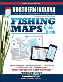
Newly updated, the Northern Indiana Fishing Maps Guide Book is a thorough, easy-to-use collection of detailed contour lake maps, fish stocking and survey data, and the best fishing spots and tips from area experts.
Fishing maps, detailed area road maps and exhaustive fishing information for lakes and streams in the northern portion of the state are provided in this handy interactive digital volume, which also connects you to Google Maps for the best views and instant driving directions to access sites. Plus (coming soon), get fishing reports for your favorite lakes.
Over 200 excellent fishing waters are covered, including Cedar Lake, Sylvan Lake, the Kankakee River, J.C. Murphey Lake and Worster Lake.
Coverage area includes the following Northern Indiana counties: Allen, Dekalb, Elkhart, Kosciusko, LaGrange, Noble, Steuben, St. Joseph, Marshall, Fulton, Pulaski, Starke, La Porte, Porter, Jasper, Newton, Lake and Whitley.
Whether you're salmon fishing on Lake Michigan, casting crankbaits for bass on Hudson Lake, hooking rainbows on Lake Gage or fishing and camping with the family on Ridinger Lake, you'll find all the information you need to enjoy a successful day out on the water on one of Northern Indiana's many excellent fisheries.
Know your waters. Catch more fish with the Northern Indiana Fishing Maps Guide Book.